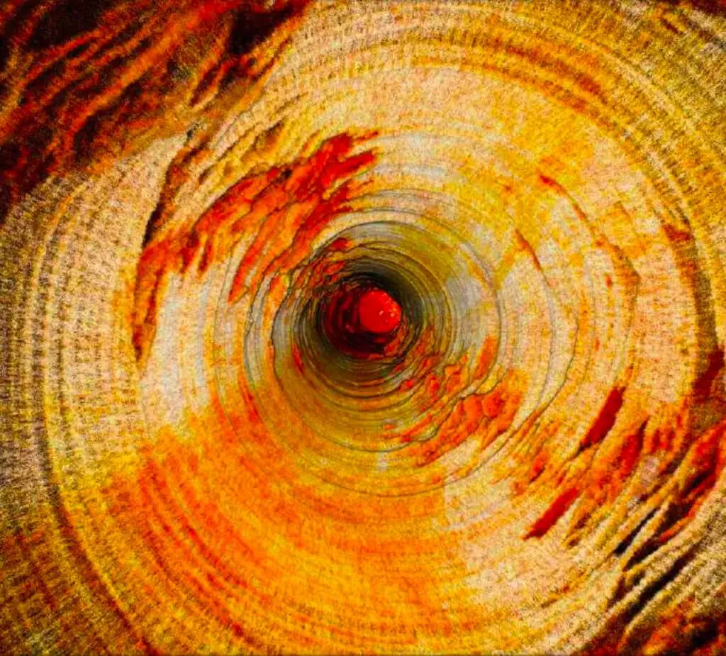
LIDAR Scanning
Light Detection and Ranging (LIDAR) Scanning are advanced remote sensing technologies that use laser light to accurately measure distances to the Earth’s surface, offering precise three-dimensional data crucial for mining operations.
Application
- Creating detailed topographic maps for exploration and planning.
- Accurately assessing stockpile volumes for inventory management.
- Monitoring slopes and pit walls to predict and prevent landslides.
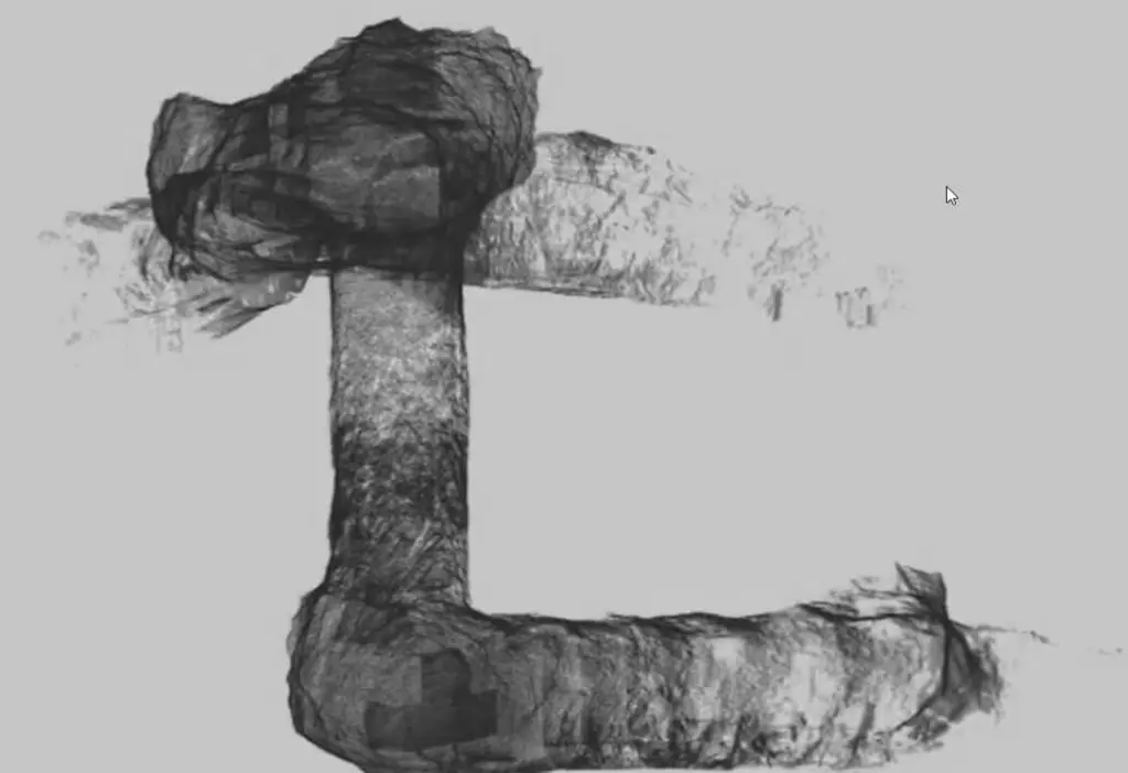
- Efficiently constructs small diameter passes for transferring ore and waste between different levels of a mine.
Benefits
- Delivers precise 3D models of mining sites, facilitating better decision-making.
- Streamlines surveying processes, reducing time and labor costs.
- Provides critical data for assessing potential hazards, enhancing mine safety protocols.
- Efficiently constructs small diameter passes for transferring ore and waste between different levels of a mine.